Tag: river
-

Dob Gill and Harrop Tarn, Thirlmere
Dob Gill has some lovely little waterfalls on the way up to Harrop Tarn, near Thirlmere. It’s an easy 2.6 mile loop walk that is well signed from the car park.
-
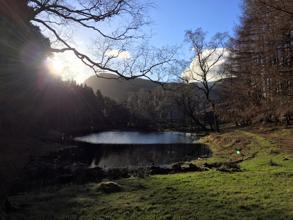
Lanty’s Tarn and Keldas, Glenridding
Lanty’s Tarn is a beautiful and accessible spot near Glenridding. Just beyond is the peak of Keldas, which has stunning views over Ullswater.
-

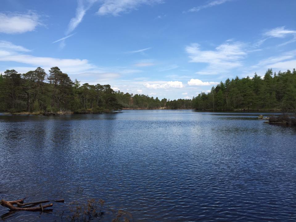
Bowscale Tarn, near Mungrisdale
Bowscale Tarn near Mungrisdale is an easy 3.5 mile out and back walk up to a beautiful and peaceful mountain tarn. The ascent is gradual and the path very easy to navigate.
-

White Moss, Rydal & Grasmere
This is a beautiful and easy walk, and it’s suitable for all terrain pushchairs on the northern side of the river. Start at White Moss car park, just off the A591 north-west of Rydal water. Grid reference 351065 on OS map OL7. There’s an obvious, wide path from the car park. Follow the path all…
-
High Dam, Finsthwaite
High Dam, starting from Finsthwaite is a fantastic and beautiful family walk. Approx 3.5km “lollipop” route from the road in Finsthwaite up to the Dam, round the lake and back again. It isn’t suitable for pushchairs, but is well worth carrying the little ones so they can enjoy the quiet lake shores too! There is…
-
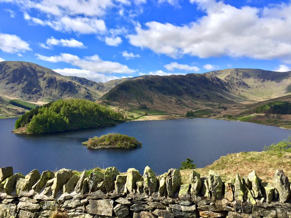
Small Water near Haweswater
This walk is to the very quiet and peaceful Small Water, and can be found at the end of Haweswater. The drive along Haweswater is stunningly beautiful, and we stopped several times to take photos.
-

Staveley Village & River Walk
Beautiful walk round Staveley village. This is a loop walk, so you can park anywhere, but I’d recommend parking in Mill Yard. Free off road parking, close to playground on the Rec and very near Wilf’s Cafe for afterwards! Please note that Staveley Bridge is currently closed due to the Dec-15 floods. Access the village…
-

Stockghyll Falls, Ambleside
Stock Ghyll Falls, Ambleside. Today was the perfect day for it, wet and drizzly. The falls are in a forest, so you’re somewhat protected from the elements, and the rainfall makes for lots of water over the falls! Use OS map OL7. If you’re going to be less than an hour (we took 45 minutes…
